
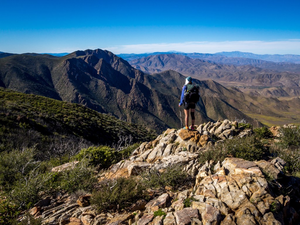
Photo courtesy of Salewa
One of the most important pieces of gear for long distance backpackers are their shoes. For my thru-hike of the Appalachian Trail, I chose the Salewa Wildfire Approach Shoes. I knew that if I planned on hiking anything more than fifteen miles a day with a 25+ lb backpack, foot love was top priority. I’ll be honest, what originally attracted me to these shoes was its style; the futuristic look and bright color scheme of the Wildfires caught my eye. In fact, my boyfriend/hiking partner, Lucas, saw me checking out the different colors online and said, “Wow. I want those.”
After a bit of research, we both ordered our first pairs. I figured the shoe’s design would function well on the trail’s terrain and, long story short, it does. 
DESIGN
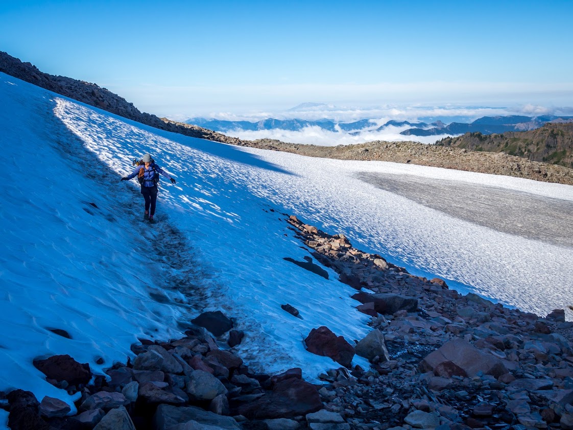
Although the Wildfires are an approach shoe, their sticky rubber, stiff sole, and unique ankle design serve well for long distance backpacking through tough terrain. There are many sections of the A.T. where scrambling up and down rocks is necessary, and the Vibram Tech Approach EVO sole gripped those rocks with no problem. As a rock climber (and shorter person), I appreciated the rubber toe box a lot. Instead of being forced to lunge up a section of rocky steps, I could find little toe chips and pockets to use as intermediates.
The sticky rubber also allowed Lucas and I the chance to slip off our packs and climb up boulders we saw along the trail, which is something you can’t do in a pair of traditional trail runners! 
PERFORMANCE
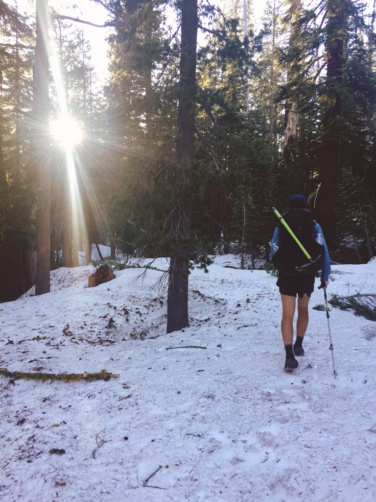
They perform well on steep or uneven terrain, rocky descents, snow, dirt, and just about anything else. However, we did experience some slippage on mud and slick rocks, but I believe that becomes unavoidable to some extent. We purchased the shoes without Gore-Tex, and they dried overnight when laid sideways, which is important for a rainy Appalachian Trail afternoon. Lucas went the entire time without getting any blisters, giving credibility to Salewa’s “100% blister-free” claims. I, however, did acquire a tiny blister on one of my toes (it went away overnight though).
Many people use high-top boots on their hikes for the ankle support. During research, we came across theories that claimed the high-top ankle support actually weakens your body’s natural ability to stabilize itself. Since we have gone as far as we have without twisting an ankle (knock on wood), I’d say the ankle support in the Wildfires was enough.

FIT
For six months, Lucas wore his Wildfires as his everyday street shoe. He was obsessed with the fit from the moment he took them out of the box. During our thru-hike, the shoes felt right, as if everything was how it should be in a shoe and the toe box was wide enough. That is, until our feet swelled. I made the mistake of ordering only a half size up–big mistake! I encourage you to buy a full size up from your street shoe if you intend to hike over 100 miles within a short period. Feet swelling and collapsed arches are inevitable when long distance backpacking!
Thankfully, the Wildfires are laced similar to climbing shoes, and extend far towards the toe. Again, buy your shoe that extra size up and just tighten the laces for a secure fit. Both Lucas and I found the customizable insoles interesting, but I admit that I did not take advantage of this feature because I used my own super stiff, replacement insole (which I regret). The MFF+ Footbed system is definitely something to play around with and use to create the best fit for your foot. The wider insoles and extra cushion in the heel options will help with foot swelling. We ended up re-lacing our shoes 500 miles into the A.T. because our feet widened too much.
Note: this strange method does allow the shoe to widen, but it doesn’t take advantage of the Wildfire’s unique lacing. 
DURABILITY
It’s not uncommon to see torn up shoes on the A.T.–seriously. Many thru-hikers sport duct tape on their shoes, or have a couple of toes hanging out the front. So, although parts of our shoes began to fall apart, there wasn’t much functional damage. Nothing that would hinder our hiking ability changed; there was no real tread wear and the toe box maintained its edge. I’m absolutely impressed with their durability!
The shoes only became less aesthetically pleasing with time. The first thing to show wear was the EXA shell that covers the bottom sides of the shoe–pieces of the beehive-like plastic began to fall off about 200 miles into our thru-hike. Next, we noticed the back and the sides of our ankle support wearing down to expose the inner foam. Luckily these changes did not effect the feel of our shoes–in truth, my heels couldn’t tell the difference. The rubber never separated from the outer fabric, and there are no holes either. 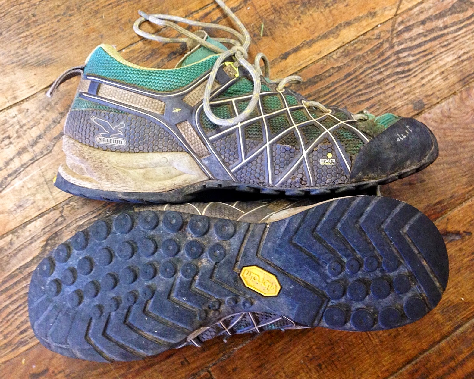
CONCLUSION
These shoes are absolutely superb/I highly recommend them. Wear them during a section hike, take them on a climbing trip, or sport them around town–it doesn’t matter, you’ll fall for their magical powers. If you plan on using them for a thru-hike, UP-size and enjoy! The quality of the Wildfire’s design and durability is suited for more difficult, technical hiking. This shoe makes a huge difference when scrambling over rocks. No joke, fellow hikers were envious of our gripping capabilities and asked to try on Lucas’ pair.
In the end, I wore my shoes for a little over 600 miles, and since Lucas wore his for 6 months before the trail, we guess his accumulated mileage is near 1,000. If we would have sized properly, I’d say the shoes could have easily handled 1,500 miles. Soon, we will be sporting new pairs of Firetails, which are the next model up in stiffness. We plan on walking in them all the way to Katahdin!


 pink hedgehog cactus
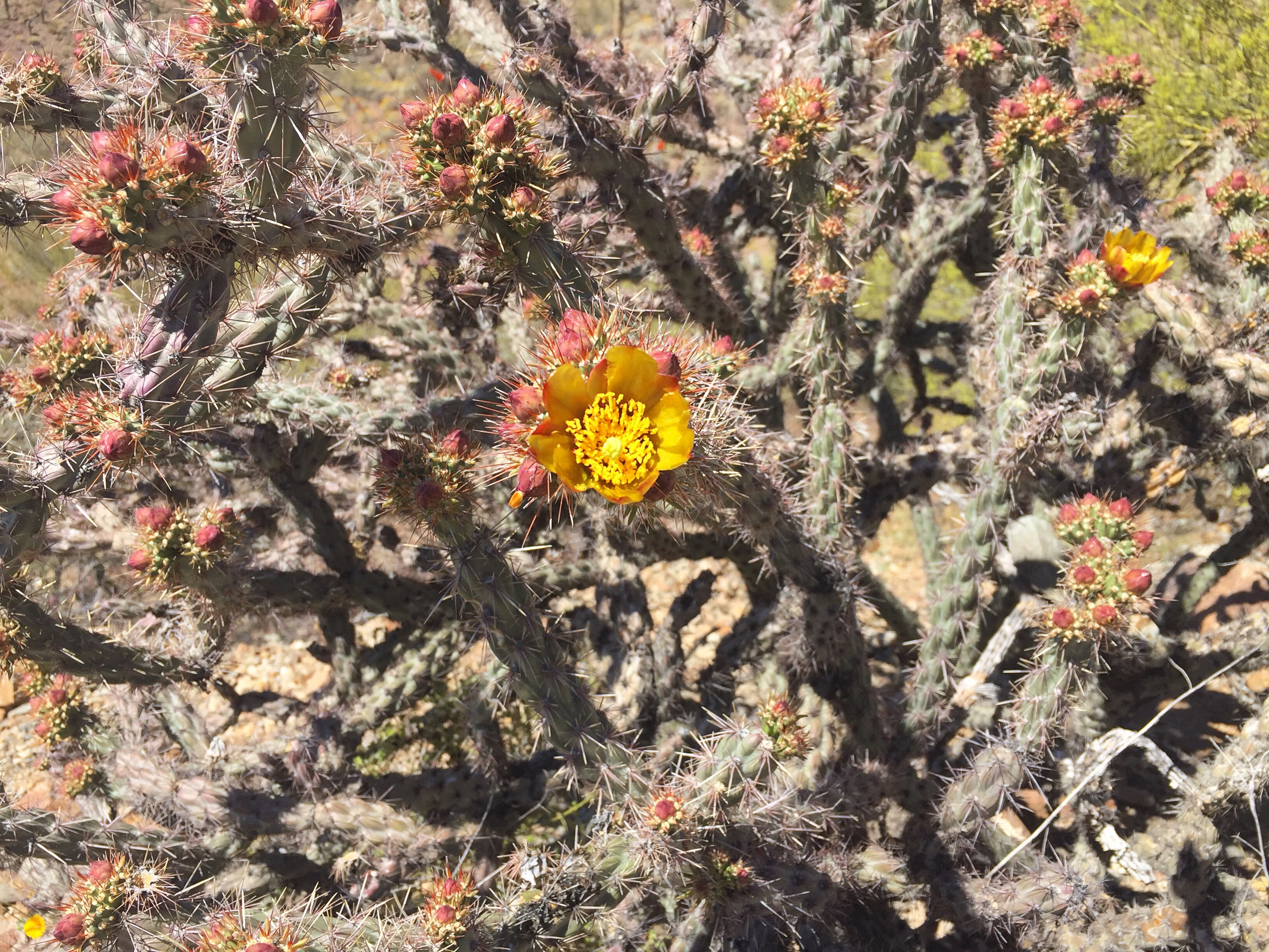 buckhorn cholla


")
")
")
")
")
")
")

