The Life of a PCT Thru-Hiker: Washington Edition

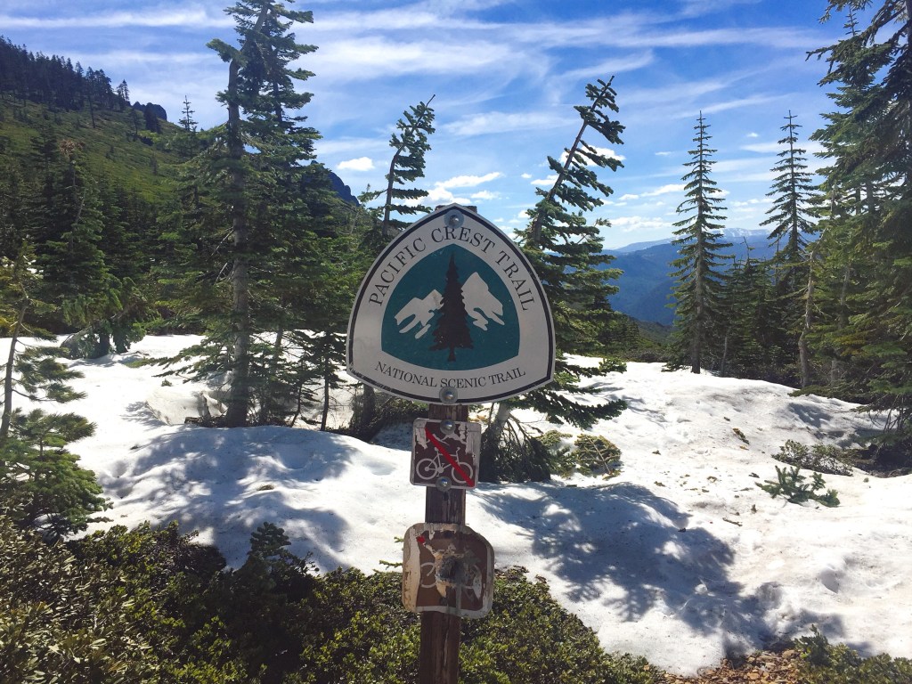
Our message for this post is simple: the Pacific Crest Trail section through Washington is special. At least we think so. After five years of living in this state, there’s no place we’d rather be… except maybe somewhere warm and sunny during the thick of winter, but that’s beside the point. As soon as our feet crossed the Bridge of the Gods on the OR/WA border, we felt at home and excited to see new areas of the Cascade range.
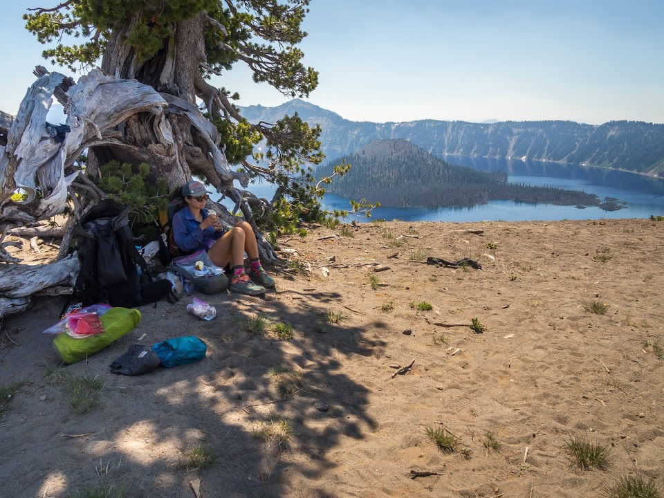
Goat Rocks Wilderness

Even with our love for Washington in mind, we’re still able to admit that things start out a little underwhelming considering the hype of this section. But you’ve got to have faith! As you climb out of the Columbia River Gorge and towards Mount Adams, you’re mostly in the heart of a forest. Everything is green and lush. Streams are abundant but the views are limited. That is, until the trail takes you around the base of Mt. Adams, where you catch frequent glimpses of the 12,280 foot volcano. It’s easy to then think, “Huh, the guide books weren’t kidding.” Best of all, you’re just getting started.
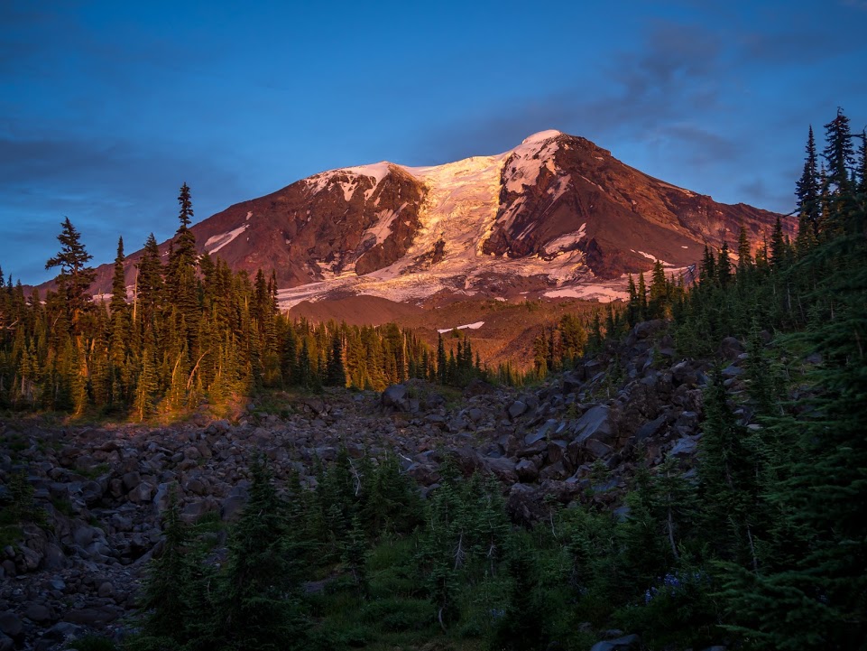
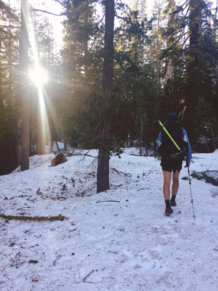
Mt. Adams shining pink in the alpenglow at sunset.
Photo by Amos Almy

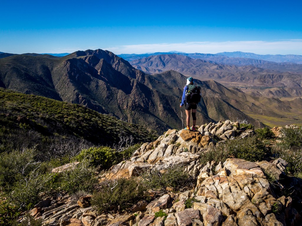
Once Mt. Adams is in the rearview and you continue north, the next big landmark is Goat Rocks Wilderness. If you ask a PCT Thru-hiker what their favorite section is, 9 times out of 10 (maybe more! This is a made up figure after all) they will chant Goat Rocks – Goat ROCKS! Rather than over explain the spectacular nature of this place, I will shut up and let the pictures say it all.

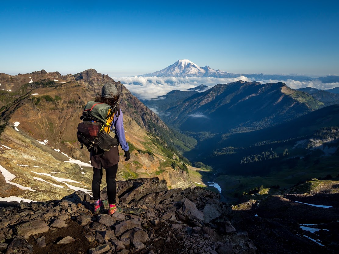
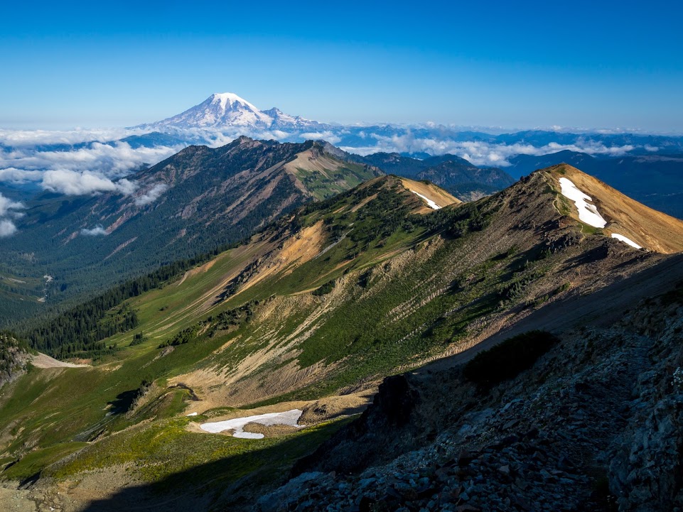
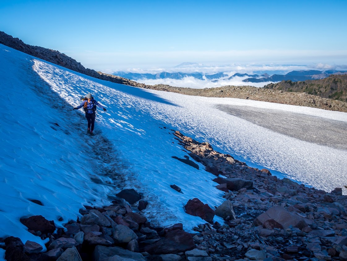
This stretch has some of the best ridge walking on the entire PCT. Three volcanoes can be seen from one place, two of them looking equally massive from your vantage. Doesn’t this just make you want to dance?!

Continue reading

The Life of a PCT Thru-hiker: Oregon Edition

When a Pacific Crest Trail thru-hiker reaches Oregon it’s like putting on a fresh pair of trail runners. The air feels full of fresh oxygen (no stinky foot odor), the trail itself seems smoother, and the uphills are no big deal. Hikers that reach Oregon usually have one thing on their mind: it’s time to cruise! Remember, the mornings are meant for cooking miles, not oatmeal! When thru-hikers talk about hiking 30 or 40 or 50 or 60 miles in a single day, they’re usually bragging about some stretch they did in Oregon. There are two well-known trail challenges that some people embrace. The first one is to hike the entire state (450 miles) in 14 days, and the second challenge is to hike as many miles as possible within 24 hours.

We did neither challenge. But ended up hiking Oregon in a casual 16 days.

Crater Lake

Photo by Amos Almy.

Sure, this is a state for hiking big miles, but that doesn’t mean there isn’t beauty along the way. Crater Lake is one of our most memorable experiences on trail. To get to the viewpoint, you trudge uphill through a green tunnel, wondering when you’ll finally catch a glimpse. Once you break out of the trees, there’s this sandy walk to the caldera rim and GASP – before you is the bluest blue you have ever blued.

Tuna Butter hates walking on sand, absolutely despises it, but he was able to set that aside to walk the Rim Trail, catching amazing views of the lake. If you follow this alternate route (which you should), you’ll find yourself falling into step with national park visitors and day hikers. Can they smell you? Yes, most definitely. But at this point into the trail, what others perceive of you no longer matters.

Calypso eating lunch by ze lake. Photo by Amos Almy.
Continue reading

A Day in the Life of a PCT Thru-Hiker: NorCal Edition

In 2019, there were hella high levels of snow in the Sierra Mountain Range. The snowpack was at 176%, which left us Pacific Crest Trail thru-hikers with a difficult decision to make: do we try to hike through the Sierra or figure out another option? Eventually, Tuna Butter and I settled on skipping 400 miles north into Northern California. This blog post picks up after that skip. You can learn more about what went into that decision-making process in our previous post “To Hike, Flip, Skip or Quit in the Snow Sierra?

We jumped north into Truckee, California and set off on the PCT from Donner Pass (Mile 1157). We made the skip with a trail friend named Fish Addict. After a bus and a hitch, we set off in the early evening of the Summer Solstice.

Mt Shasta and Calypso in conversation. Photo by Amos Almy.

Day 1

It was inevitable that we’d hit snow. We were hiking this section earlier in the season than most thru-hikers. Because of this, we came prepared with our ice axes and microspikes. On a normal year, these items would be unnecessary for this section, but we were glad to have them.

Our original plan for day one was to stay at a hut on trail – one of the few rare ones along the entire PCT. We left Donner Pass separately from Fish Addict, fully intending to meet up that night. Right away, we were walking on several feet of snow. It was a pain to navigate through the thick forest with no trail markers. The GPS on our phones came in handy, as well as our own intuition. Surprisingly, we crossed paths with a SOBO (southbounder) who informed us that the Sierra Club had rented out the hut for the night and were not letting thru-hikers stay there, which was a major disappointment.

Instead, we found a spot to sleep on an exposed ridge. It was super windy but miraculously snow free. We texted Fish Addict with a plan to meet up the next day. Tuna Butter hardly slept that night and kept worrying that the wind would rip apart our tent. Fortunately, that didn’t happen (thanks Big Agnes!).

In the morning we passed the hut full of Sierra Clubbers, all warm and snuggly by their wood stove. I, Calypso, tried not to feel envious as I wore all of my warm layers to hike.

Continue reading

To Hike, Flip, Skip, or Quit in the Snowy Sierra?

It’s not every year that you have to think about your options for the Sierra. But sometimes, the Sierra Mountain Range gets pummeled with snow and it does not melt away until late July or August. This can make for a difficult decision for a thru hiker. 

When we started the trail (and probably like most thru hikers) we believed we would walk from one border of a country to another: Mexico to Canada. Our intention was to hike a single footpath covering 2650+ miles. We would not call ourselves “Purists”, and most hikers probably wouldn’t either, but there is an inherent attraction in hiking from a place to another in one continuous line – South to North, or North to South. So, as we neared the end of the desert section, we started analyzing our options for the foreboding Sierra Mountains ahead. Here is a bit of our thought process.

This is a little confusing but compare the green line (2019 snow) to the black line (average).

The Sierra were at 176% for their snowpack. That means it was 76% above normal, leaving us and many hikers in a bit of a pickle. Here is a peek at the back and forth that happened frequently among us:

“That snow is going to make navigation really tough.”

“Ya but how bad can it really be? We have Guthooks (navigation app) and paper maps.”

“Have you seen the pictures of people going over Forester Pass?!?”

“Ya but that was like 2 weeks ago, it should be better by the time we get there.”

“What about the raging river crossings?”

“Well, that’s just a part of hiking the PCT! We will be smart about it.”

“But what about the fact that I’m 5’3, pint-sized, and not a very good swimmer?” (Maybe more relevant to Calypso than others).

And you go on and on, trying to justify entering this no-joke of a mountain range. Remember, the trail takes you up to 12,000-14,000 feet in elevation. It’s tricky to make the decision by crowdsourcing, even if you talk to previous thru-hikers. The constant advice you will receive from others is “hike your own hike, man”. Which is good advice but you still have to figure out how to hike your own hike…man.

What the trail looked like heading out of Truckee, CA

Here are some options we had to consider:

  1. Hike through the Sierra, no matter the conditions.
  2. Wait a few days, then a few more, maybe a week or two, and then hike through the Sierra.
  3. Flip-flop (jump ahead and hike back in the opposite direction).
  4. Skip the Sierra, keep hiking north, and return after reaching Canada.
  5. Leave the trail and save it for another year. 
Continue reading

A Day in the Life of a PCT Thru-Hiker: Desert Edition

Have you ever wondered what it’s like to hike the Pacific Crest Trail? If so, we hope to give you an idea of what it is like with posts about each section of the trail.

In 2019, my boyfriend (Tuna Butter) and I (Calypso) hiked the PCT. The whole. damn. thing. And we learned a thing or two along the way. Hopefully this series – this so-called glimpse at “A Day in the Life of a PCT Thru-Hiker” – will provide some insight into what hiking the trail is like.

If not… ¯\_(ツ)_/¯

We hope to do a post each week first detailing the 5 different sections of the PCT: Desert, Sierra, Northern California, Oregon, and Washington. We might intersperse some bonus and Q&A posts. For now, let’s start with the Desert section.

Outside of Mt Laguna, photo by Amos Almy.

For the first 700 miles of the Pacific Crest Trail, northbound hikers are subjected to the beauty and harsh conditions of the Southern California desert. The first few hundred miles are especially tough on the mind and body. Mentally, you have to adjust to packing up and unpacking your home every day, body aches, and to things like creepy spiders and various flavors of rattlesnakes. Also, your body isn’t used to walking 15-25 miles a day; many hikers get injured within a month or two of being on Trail. To avoid this, Tuna Butter and I intentionally hiked around 12-15 miles each day for two weeks. Of course, some twenties snuck their way in, but we tried to keep our egos at bay. It is important to listen to your body and not start too fast.

Note: Before I break down the average day-to-day, I wanted to bring up the conditions of 2019. It was an abnormally wet spring in California. April and May brought rain showers and cool, overcast days to SoCal. In the mountains, this translated to late season snowfall. We walked through snow in the High Desert. Filled our bottles up at unmarked streams. The wildflowers were also exceptional (yes, we got to experience the ‘Poppy Apocalypse‘).

In the desert, there were many instances of rain – once even snow. We know some folks who were able to hike the L.A. Aqueduct, a notoriously hot and exposed section, during the day… and with their puffy jackets on! However, in May we took several weeks off from Trail to go see family, and once we’d made it back to the trail things were not the same. Before we left, peak temps were around 80F. When we came back in June, it was a good twenty degrees hotter during the day. I’m talking over 100F in full sun, every day. Water was more limited, too. We had to quickly adapt to this change, carry more water, and take longer siestas.

Because of this break in time, I believe this post will provide a pretty accurate representation of the Desert section, even during a drier year.

Continue reading

The journey from AZ to the PCT

We’re not in Washington anymore!

For five days we stayed with Amos’ brother Sam and his wife Lynné in Phoenix and Tucson, Arizona. During our stay we prepped gear and food for our first stretch of the PCT and hiked in Saguaro National Park, thanks to a stellar recommendation from a Triple Crown thru-hiker and employee at the local gear shop.

Below are photos from the 8-mile trek to Wasson Peak (elevation 4,687 feet), on the ancestral lands of the Tohono O’odham people.

We were very lucky to see the desert in bloom after an abundance of winter rain and snow.

Here’s one of my favorites, the desert Mariposa lily.

pink hedgehog cactus
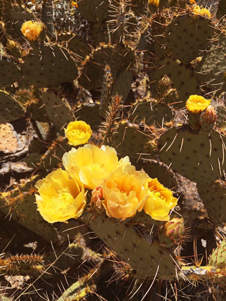
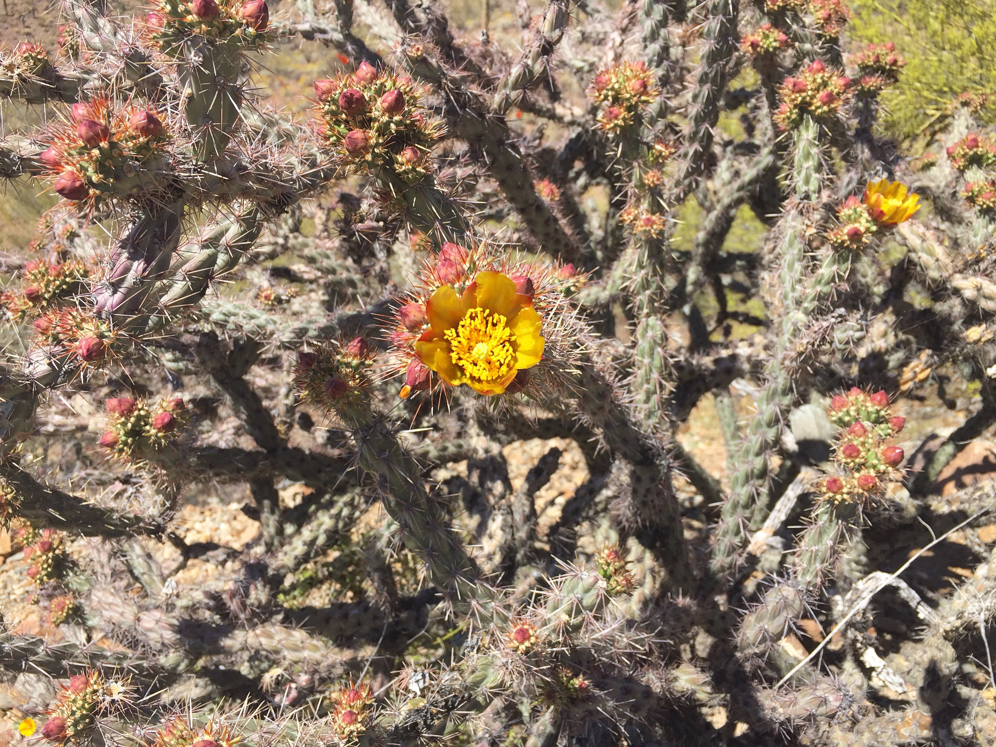
Prickly pears cactus

buckhorn cholla

Staghorn cholla

The day before the trail we experienced a bit of an unexpected adventure… Sam’s initial plan was for us to have a chill first half of the day in Tucson, and then at noon we’d drive from Arizona to California to camp 20 minutes from the trailhead. That would set us up for an early start the next day, our first day on the PCT(!), and Sam would get to see Scout – a trail angel he knows from thru-hiking the Appalachian Trail last year.

Continue reading